
Tanyard Creek Headwaters
540-578 Sol Grubbs Rd, Mendenhall, MS | Lat/Lng: 31.8271, -89.9341
$547,611
181.7 ac.
01/03/2025
ACTIVE


Description
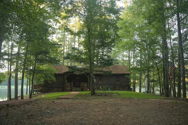
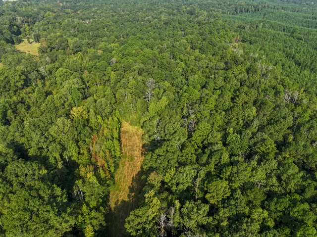
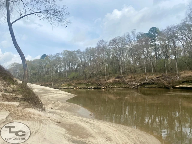
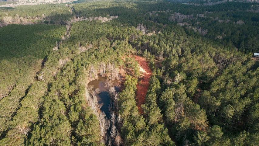
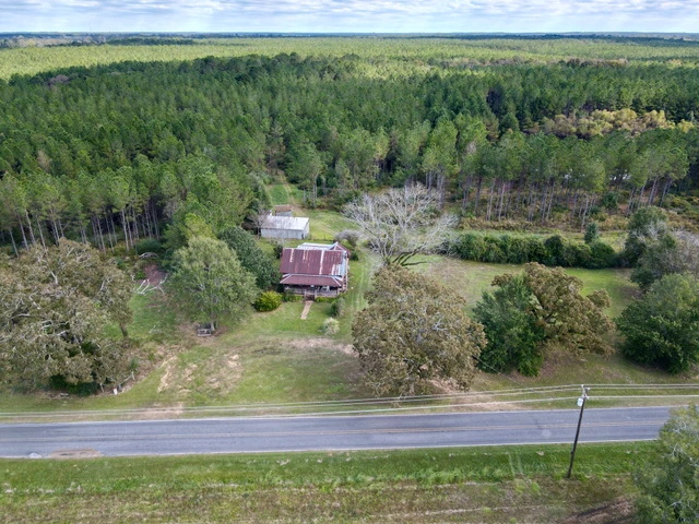
Welcome to 181.7 amazing acres of prime timberland in Simpson County, Mississippi. Perfectly blending investment potential and outdoor recreation, this property is a haven for timberland investors and avid hunters. Towering pines, mature hardwoods, and a small area of recently cutover stands showcase both decades of growth and the promise of future deer holding bedding areas, while Tanyard Creek meanders gracefully across the land, offering a serene backdrop and vital water source for abundant wildlife.
The gently rolling terrain, crisscrossed by over 6,698 feet of interior roads, ensures easy navigation for hunting, logging, or leisurely exploration. Whitetail deer, wild turkey, and small game thrive here, making it a sought-after destination for hunting enthusiasts. Utilities, including water and electricity, are conveniently located nearby, enhancing the propertys versatility.
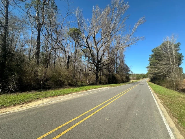
Accessible via a 60-foot-wide easement from Sol-Grubbs Road, this secluded tract feels miles away from the world, yet is just under an hour from Jackson and within easy reach of New Orleans and Baton Rouge.
Dont miss this rare opportunity to own a timberland retreat that offers both long-term investment returns and countless memories in the great outdoors. Call today to schedule your visit or secure a Temporary Access Permit for self-guided exploration.
Just the Facts:
Sales Price: $547,611 or $3,013.82/ac
Tract Acreage: GPS Mapped 181.7; Deeded 180; Taxed 180
Tract Location-
Legal: E2 SE4, SE4 NE4, Sec. 18; & W2 NW4 SW4, SW4 SW4, Sec. 17: T10N, R19W, Simpson County, MS
Address: 540-578 Sol-Grubbs Rd, Mendenhall, MS 39114
Lat: 3149 39.4 N
Long: 8956 02.2 W
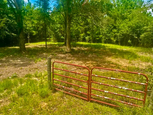
Paved Road Frontage: 60 wide Easement to Sol-Grubbs Road.
Interior Roads: 6,698
Utilities-
Water: Shivers Water As.
Electric: So. Pine EPA
Topography: Rolling
Zoning: Rural, Timberland
Ad Valorem Taxes: 2024 - $550.68
FEMA Flood Zone: No Portions lie within the 100 year flood zone. MAP # 28127C0325D
History: Timberland
Mineral Rights: None
Streams: Tanyard Creek- 4,120.
Soils: Name, % Area, Loblolly Site Index
Ruston fine Sandy Loam 2-5% slope, 13.9%, 91
Savannah Loam 2-5% slope, 4.1%, 81
Savannah Loam 5-8% slope, 0.1%, 81
Smithdale fine Sandy Loam 8-15% slope, 3.0%, 86
Smithdale fine Sandy Loam 12-40% slope, 78.9%, 86
Owner Financing Available? No
Species Available for Hunting:
White-tailed Deer Wild Turkey
Squirrel Rabbit
Medium of Exchange: Cash or Equivalent/occupancy on closing.
Estimated Driving Times to Tract:
New Orleans: 169 mi, 2hr 41 min
Baton Rouge: 166 mi, 2hr 42 min
Jackson: 47 mi, 55 min
Hattiesburg: 60 mi, 1hr 7min
Sub-dividable?: No, tract offered in its entirety.
How to view the property: You can schedule a site visit by contacting me at (O) 601.587.4446 or (M) 601.594.1564 to set up a time, OR if you would like to visit the site on your own we request that you fill out a Temporary Access Permit.
Timber: Stand#-Type-Acres-Age
300 -(PI2)Pine Intermediate Med. Density-146.4 ac.-28 yrs
301 -(HI2)Hardwood Intermediate Med. Density-18.9 ac.-59 yrs
302 -(MR0)Mixed Regeneration Low Density-16.4 ac.-1 yrs
No recent timber cruise available.
Details
County: Simpson
Zipcode: 39114
Property Type One: Recreational Property
Property Type Two: Timberland
Property Type Three: Hunting Land
Brokerage: Timberland Sales, LLC
Brokerage Link: www.timberlandsales.com

Mark Dale
Timberland Sales, LLC
(601) 587-4446
By clicking the button, you agree to our Terms of Use and Privacy Policy.


Nearby Listings
Rankin County, MS
$3,850,000 - 736 ac.
Copiah County, MS
$500,250 - 145 ac.
Rankin County, MS

$5,133,254 - 1194 ac.
Rankin County, MS
$59,995 - 5 ac.
Copiah County, MS
$199,000 - 20 ac.
Lawrence County, MS
$385,000 - 68 ac.
Smith County, MS

$260,000 - 112 ac.
Lawrence County, MS
$150,000 - 43 ac.
Lincoln County, MS
$1,039,500 - 231 ac.
Jefferson Davis County, MS
$76,000 - 19 ac.