
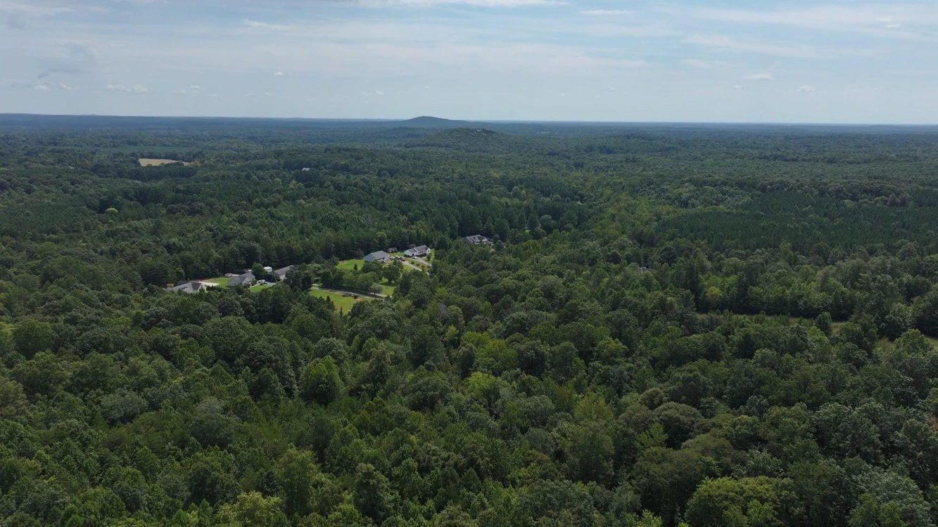
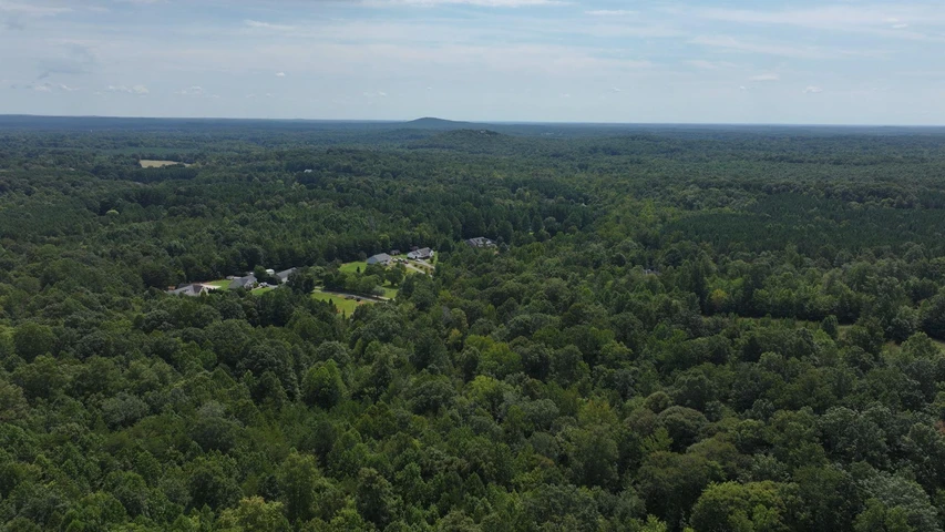
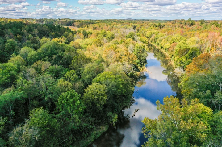
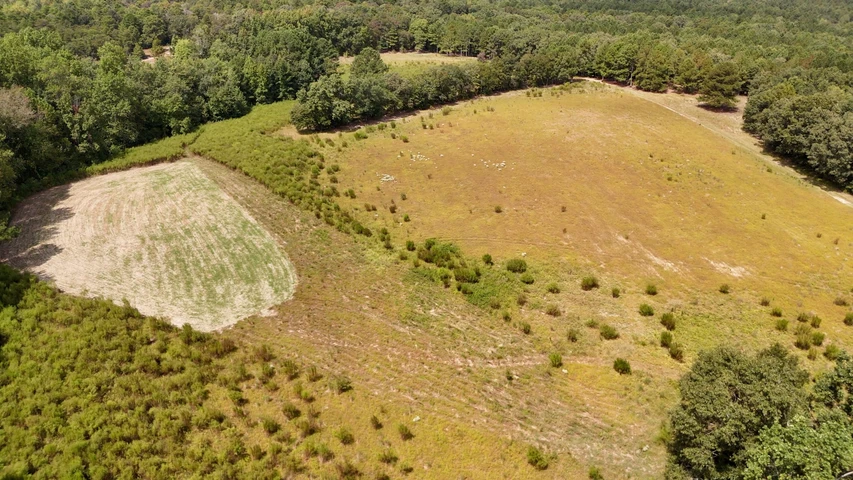
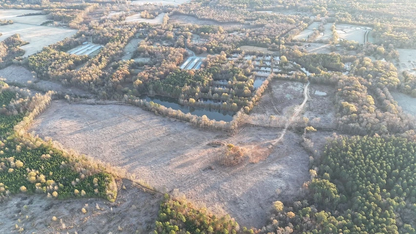
21.09 Acres For Sale in Randolph County North Carolina!
Woods Stream Ln, Asheboro, NC | Lat/Lng: 35.7162, -79.8130
$209,000
21.09 ac.
08/07/2025
ACTIVE
Description
Interested in this property? Call, text, or email us today for more details!
(540) 824-3372
Feel free to visit the property any time, no need to set up an appointment, this property has no address.
Subscribe to email alerts by texting your e-mail address to (541) 375-0012 and be the first to know when we get a great deal in.
By texting (541) 375-0012 you authorize Country Land Group to send text messages with offers & other information, possibly using automated technology, to the number you provided. Message/data rates apply. Consent is not a condition of purchase. You may unsubscribe at any time.
Discover this ready-to-go property with access from Wood Stream Ln with a gravel driveway and RR-CD zoning. It already has a well and septic system in place, with electricity available from nearby homes. Documents for well and septic available upon request.
Just 15 minutes from Asheboro, you'll have quick access to parks, museums, shopping, and country clubs. Only 37 minutes to Oak Hollow Lake, offering boating, golf, campgrounds, and year-round events at the Oak Hollow Festival Grounds. A great mix of convenience and outdoor adventure!
No need for agents to schedule a showing - Go and Show!
Buyer to verify all of the above!
Address: Woods Stream Ln, Asheboro, NC, 27203
Cash Discount Price: $209,000.00 (Unfortunately, we cannot offer owner financing on this property.)
County: Randolph
Acres: 21.09 Acres (Raw Land)
Coordinates: 35.71956, -79.74358
Parcel #: 7771974240
Yearly Estimated Taxes: $1,091.9
Elevation: 695 FT
Property Dimensions: 984.32 FT X 951.40 FT X 617.41 FT X 229.18 FT X 9.94 FT X 22.95 FT X 20.07 FT X 1606.80 FT
Zoning: RR-CD, Residential Restricted Conditional district
County Planning and zoning phone #: Planning & Zoning (336) 318-6555
Does this property have an HOA?: No
Does this property have a survey?: No
Elementary school: Franklinville Elementary School
Middle school: Southeastern Randolph Mid
High school: Randolph Early College
Phone # for electric company: Duke Energy Carolinas (855) 637-6513
Legal Description: WOODRIDGE CREEKS; L100 SC4 BMPB90-PG97
If this property is not what you are looking for, go to our website and sign up for our deal alerts; you will be notified whenever we have a new property for sale! Or, e-mail, call or text us, and we may be able to find the property you are looking for.
Details
County: Randolph
Zipcode: 27203
Property Type One: Recreational Property
Property Type Two: Residential Property
Property Type Three: Undeveloped Land
Brokerage: Country Land Sellers
Brokerage Link: countrylandsellers.com
Apn: 7771974240

Luke Harris
Country Land Sellers
(540) 824-3372
By clicking the button, you agree to our Terms of Use and Privacy Policy.


Nearby Listings
Rowan County, NC
No Price - 5400 ac.
Rowan County, NC

$5,120,000 - 205 ac.
Forsyth County, NC
$255,000 - 20 ac.
Davidson County, NC

$59,500 - 6 ac.
Randolph County, NC
$2,750,000 - 297 ac.
Montgomery County, NC

$395,000 - 20 ac.
Moore County, NC
$5,605,000 - 590 ac.
Guilford County, NC

$155,000 - 15 ac.
Davidson County, NC

$58,000 - 4 ac.
Chatham County, NC
$690,000 - 110 ac.