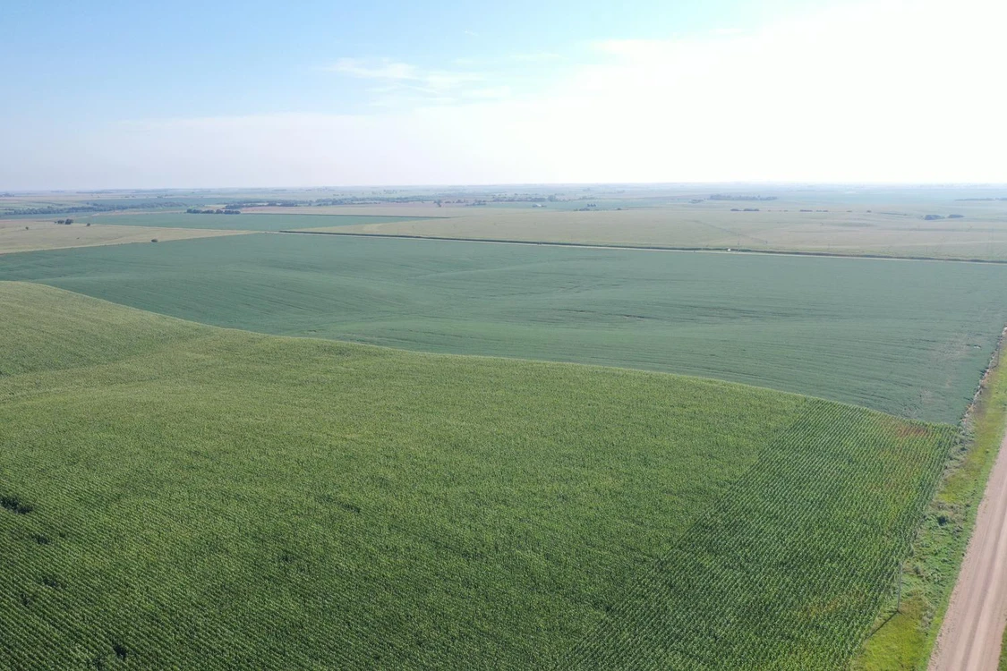
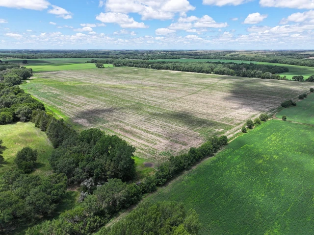
Land for Sale - West Road, Upland, NE 68981 - 81.56 acres

81.56+/- Dryland Acres in Franklin County, NE

West Road, Upland, NE | Lat/Lng:  40.3219, -98.8444

$400,000
81.56 ac.
08/22/2025
ACTIVE
Main Listing ImageMain Listing Image

Description

This property is a gently rolling non irrigated 80 that is highly productive with 20.1 base corn acres, 153 PLC Yield, 14.6 grain sorghum base acres, 62 PLC Yield, and 6.1 soybean base acres, 46 PLC Yield. Property also has a submersible well that was drilled in 1997. Legal Description - South of Southeast Section 12, Township 4 North, Range 14 West of the 6th P.M. Franklin County, NE Property Taxes - $1,709.32 Total Acres (per assessor) - 81.56 +/- Dryland Acres - 76.25 Grassland Acres - 3.31 Other Acres - 3 FSA Information Corn - 20.1 Base Acres - 153 PLC Yield Grain Sorghum - 14.6 Base Acres - 62 PLC Yield Soybeans - 6.1 Base Acres - 46 PLC Yield Irrigation Information Well G-092204 Submersible, Drilled 6/20/97, 12 GPM, 117' Static Level, 140' Pumping Level, 205' Well Depth Located in Lower Republican NRD *Subject to lease

Details

CountyFranklin
Zipcode68981
Property Type OneFarms
Property Type TwoUndeveloped Land
BrokerageAgWest Land Brokers
Brokerage Linkwww.agwestland.com
Apn201004100
Land Listing Agent Photo
Jeff Moon
AgWest Land Brokers
(866) 995-8067
By clicking the button, you agree to our Terms of Use and Privacy Policy.
$ image/svg+xml image/svg+xml image/svg+xml image/svg+xml image/svg+xml image/svg+xml image/svg+xml image/svg+xml image/svg+xml image/svg+xml image/svg+xml image/svg+xml image/svg+xml image/svg+xml image/svg+xml image/svg+xml image/svg+xml image/svg+xml image/svg+xml image/svg+xml image/svg+xml image/svg+xml image/svg+xml image/svg+xml image/svg+xml image/svg+xml image/svg+xml image/svg+xml image/svg+xml image/svg+xml image/svg+xml image/svg+xml image/svg+xml image/svg+xml image/svg+xml image/svg+xml image/svg+xml image/svg+xml image/svg+xml image/svg+xml image/svg+xml image/svg+xml image/svg+xml image/svg+xml image/svg+xml image/svg+xml image/svg+xmlimage/svg+xml image/svg+xml image/svg+xml image/svg+xml image/svg+xml image/svg+xml image/svg+xml image/svg+xml image/svg+xml image/svg+xml image/svg+xml image/svg+xml image/svg+xml image/svg+xml image/svg+xml image/svg+xml image/svg+xml image/svg+xml image/svg+xml image/svg+xml image/svg+xml image/svg+xml image/svg+xml image/svg+xml image/svg+xml $image/svg+xmlimage/svg+xmlimage/svg+xml image/svg+xml image/svg+xml