
Tract A Old Unity Road. An ideal recreational retreat or future home site!
Tract A Old Unity Rd, Long Creek, SC | Lat/Lng: 34.7182, -83.2107
$184,960
11.56 ac.
02/24/2026
ACTIVE
Description
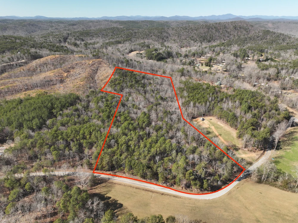
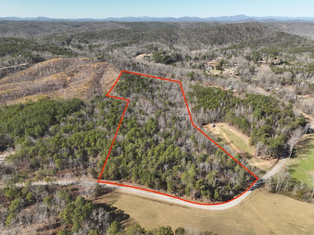
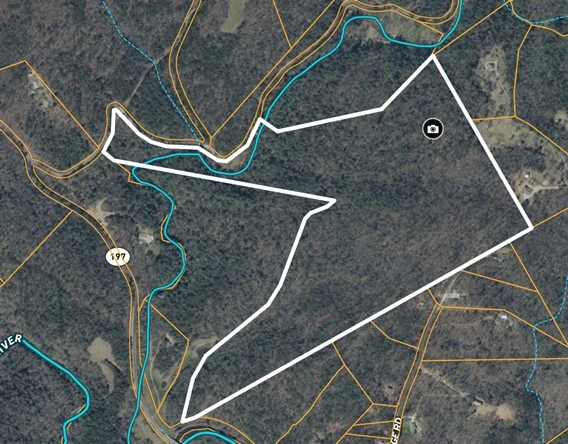
Discover 11.56 wooded acres in a highly desirable mountain setting, bordering the Sumter National Forest and offering direct access to thousands of acres of protected public land. This exceptional tract provides privacy, natural beauty, and outstanding recreational opportunities, making it an ideal choice for a weekend retreat, full-time residence, or long-term investment.
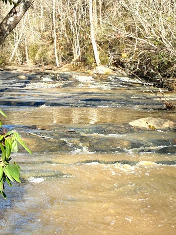
The property features a creek running through the land, enhancing both the scenic character and wildlife habitat while creating a peaceful atmosphere. A standout feature is the prime ridge-top building site, which offers excellent views of the surrounding landscape and provides a perfect location for a cabin or custom home. With approximately 670 feet of road frontage, access is convenient while still maintaining the secluded feel that buyers seek in a mountain property.
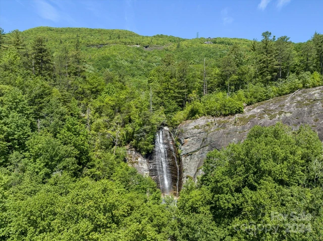
Located just off Highway 76 between Westminster, South Carolina, and Clayton, Georgia, the property is positioned for easy travel while remaining close to some of the region’s best outdoor recreation. The area is known for its proximity to trout fishing streams, hiking trails, waterfalls, and whitewater rafting, giving owners endless opportunities to enjoy the outdoors year-round.
Public water is available, a valuable feature that simplifies the building process and reduces development costs compared to drilling a well. The combination of utility access, ridge-top views, and adjacency to national forest land makes this tract especially attractive for those looking to build without sacrificing convenience or natural surroundings.
Whether you are seeking a private mountain homesite, a recreational getaway, or a property with long-term appreciation potential, this 11.56-acre tract offers a rare blend of accessibility, scenery, and direct connection to public lands.
Important Notice: Property lines and boundaries shown in marketing materials are approximate and should not be relied upon as exact. Buyers are encouraged to conduct their own independent research and verify property lines, easements, utilities, and any other relevant details through a licensed surveyor or appropriate authorities.
Details
County: Oconee
Zipcode: 29658
Property Type One: Recreational Property
Property Type Two: Undeveloped Land
Property Type Three: Hunting Land
Brokerage: Cann Realty, LLC
Brokerage Link: www.landmansc.com

Jody Cann
Cann Realty, LLC
(864) 314-2752
By clicking the button, you agree to our Terms of Use and Privacy Policy.


Nearby Listings
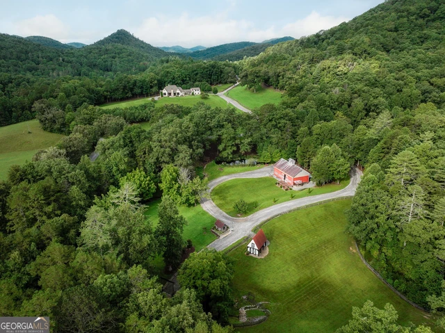
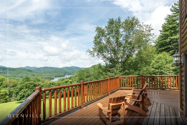
Rabun County, GA
$15,500,000 - 351 ac.
Habersham County, GA
$2,900,000 - 96 ac.
Rabun County, GA
$7,500,000 - 80 ac.
Towns County, GA

$12,900,000 - 468 ac.
Habersham County, GA

$4,690,000 - 175 ac.
Transylvania County, NC
$3,250,000 - 238 ac.
White County, GA
$600,000 - 24 ac.
Franklin County, GA

$3,718,000 - 145 ac.
Franklin County, GA

$9,300,000 - 620 ac.
Jackson County, NC
$3,950,000 - 112 ac.