
Cedar Bluff
Hwy 9, Cedar Bluff, AL | Lat/Lng: 34.2491, -85.5135
$66,000
40 ac.
10/17/2025
ACTIVE

Description
Property Overview
Cedar Bluff is a secluded timber and recreational tract in Northeast Alabama's Appalachian Mountains featuring:
-40 acres of mature hardwoods and mixed pine
-Excellent wildlife habitat with strong recreational appeal
-Legal deeded access to AL Hwy 9
-Just over 5 miles from Cedar Bluff and Lake Weiss
-Close to Centre, Alabama with dining, lodging, and medical services
Location
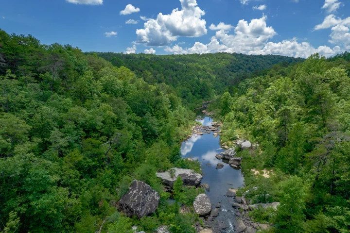
Cedar Bluff is located in the southernmost reaches of the Appalachian Mountains in Northeast Alabama. In this region, valleys are farmed or used for timber production, while ridges support natural stands of mature mountain hardwoods. The tract is surrounded by other timbered properties and has a 20-foot deeded access route to AL Hwy 9. Lake Weiss and the Coosa River are only two miles away, while the Tennessee River and Lake Guntersville are about an hour's drive.
This part of Appalachia is known for its outstanding recreational opportunities tied to nearby National and State Parks. The town of Cedar Bluff, situated on the banks of Lake Weiss, is just over five miles from the tract and provides fuel, groceries, and dining options. Centre, Alabama lies just across the lake and offers hotels, restaurants, shopping, and a medical center. Several small regional airports serve the area, while Huntsville International Airport is about an hour away, and Atlanta's airport is just over two hours from the property.
Access
The tract has a legal 20-footwide deeded access from AL Hwy 9, though no road has yet been built along this corridor. Once improved, this access will greatly enhance the property's usability. The deeded strip measures just under half a mile. Power is available along AL Hwy 9. As the property has primarily been used for recreation, no internal logging roads are currently developed.
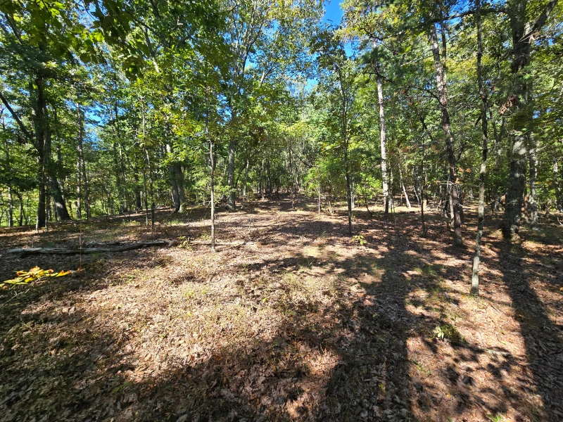
Property Description
This 40-acre tract features hilly, mountainous terrain and has been used for recreation under the current ownership. Access is through a 20-foot-wide deeded strip that connects AL Hwy 9 to the southwest corner of the property. The access route is unimproved and would require surveying and construction for road use. Elevations range from 750 to 1,090 feet, with well-drained soils suitable for timber production, though slopes may require specialized equipment. The tract supports a wide variety of oak species, both mature and young, providing abundant acorn crops for wildlife.
Timber Resource
A timber inventory was conducted in the summer of 2025. The current owner's property manager provided timber volumes. Product values were applied by F&W Forestry Services, Inc. Volumes and values are not guaranteed.
This tract is dominated by mature hardwood species as well as a fair representation of shortleaf and longleaf pine. This hardwood holds many commercially sought-after species and may hold value.
This value may be captured if suitable logging access can be obtained and a specialized rough land logging crew can be found to conduct the harvest. If harvested and if timber production is a priority, reforesting with loblolly pine would be recommended.
In addition, leaving the hardwood-dominated acreage untouched is also an option, as this timber holds significant wildlife and aesthetic value.
Details
County: Cherokee
Zipcode: 35959
Property Type One: Recreational Property
Property Type Two: Timberland
Property Type Three: Hunting Land
Brokerage: Fountains Land
Brokerage Link: www.fountainsland.com
Apn: 1104180000004000

T.R. Clark
Fountains Land
(334) 864-9542
By clicking the button, you agree to our Terms of Use and Privacy Policy.


Nearby Listings
Cherokee County, AL
$4,000,000 - 1233 ac.
Cherokee County, AL
$4,000,000 - 1233 ac.
Cherokee County, AL
$4,000,000 - 1233 ac.
Cherokee County, AL
$4,000,000 - 1233 ac.
Cherokee County, AL
$4,000,000 - 1233 ac.
Cherokee County, AL
$4,000,000 - 1233 ac.
Cherokee County, AL
$4,000,000 - 1233 ac.
Cherokee County, AL
$4,000,000 - 1233 ac.
Cherokee County, AL
$4,000,000 - 1233 ac.
Cherokee County, AL
$4,000,000 - 1233 ac.