
26.5 Acres in Clay County, AL
County Road 5, Ashland, AL | Lat/Lng: 33.2496, -85.8958
$139,900
26.5 ac.
12/10/2025
ACTIVE

Description
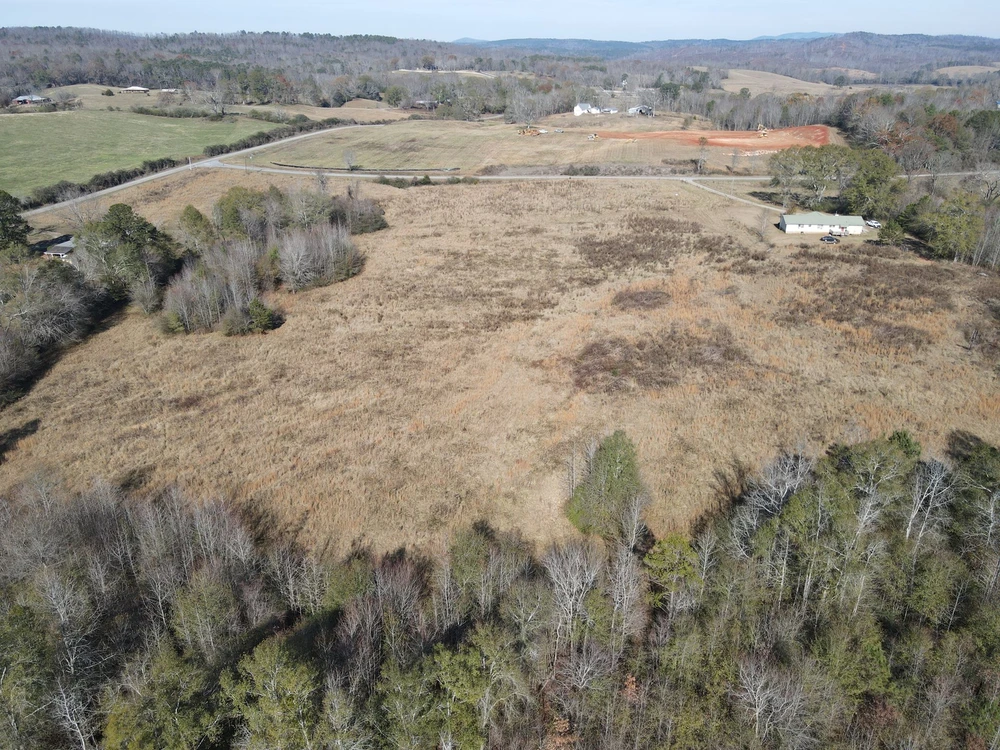
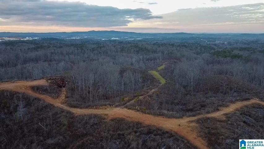
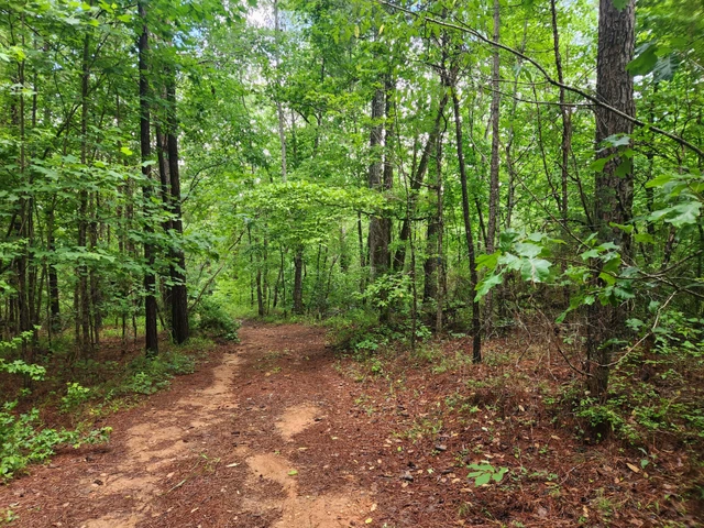
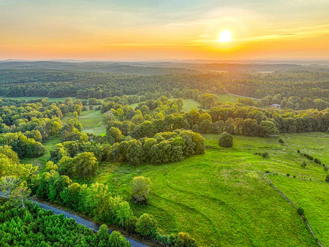
26.5 Acres High Pine Community, Clay County, AL
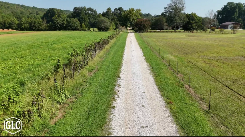
This 26.5 acre tract is located in the High Pine community of Clay County, just outside of Ashland and approximately one hour from Birmingham. The property is made up primarily of hard-to-find open pastureland, with pockets of pine and hardwood timber mixed throughout. There are several excellent homesites, offering options for a private residence, mini-farm, or future build. With double road frontage, the tract provides flexibility for access and layout. The land is ideal for establishing pasture, running livestock, or simply enjoying the open space in a quiet setting. In addition to its agricultural potential, the area is known for strong wildlife numbers, providing good deer and turkey hunting. A well-located piece of land with usable ground and rural appeal in a desirable part of Clay County.
Details
County: Clay
Zipcode: 36251
Property Type One: Farms
Property Type Two: Recreational Property
Property Type Three: Residential Property
Brokerage: Southeastern Land Group, Inc.
Brokerage Link: www.selandgroup.com

Spencer Loveless
Southeastern Land Group, Inc.
(256) 283-3198
By clicking the button, you agree to our Terms of Use and Privacy Policy.


Nearby Listings
Randolph County, AL

$840,104 - 280 ac.
Talladega County, AL
$1,499,000 - 185 ac.
Cleburne County, AL
$1,225,000 - 240 ac.
Coosa County, AL
$2,600,000 - 22 ac.
Talladega County, AL
$599,000 - 234 ac.
Clay County, AL
$77,000 - 37 ac.
Randolph County, AL
$1,050,000 - 160 ac.
Randolph County, AL
$211,463 - 55 ac.
Talladega County, AL

$156,000 - 20 ac.
Talladega County, AL
$599,000 - 94 ac.