Over One Acre Corner Lot with Power - Paved Rd - Surveyed - Pioche/Caliente
Caliente, NV | Lat/Lng: 35.1768, -107.9055
$24,995
1.12 ac.
01/13/2024
ACTIVE
Description
***See all of our listings by visiting us at governmentlandsales.us***
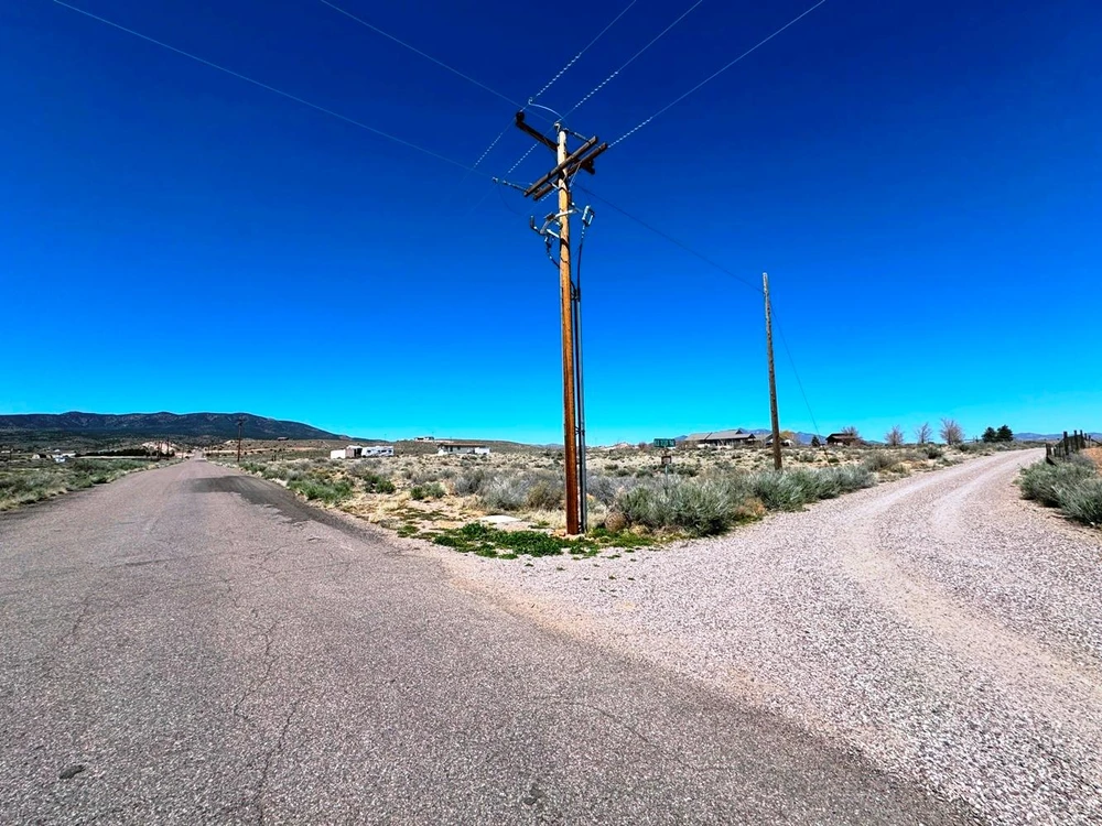
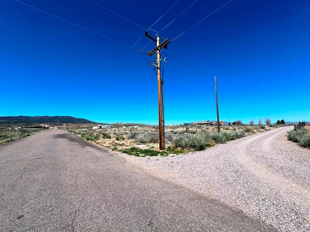
Great 1+ acre corner lot located on paved Wildhorse Mesa Road (also known as Sharon Street) in Bennett Springs (which is between Pioche and Caliente off HWY 93). There is power at the lot. Great lot to build a permanent residence or just a spot to get away from it all!
Panca
This small unincorporated town is located just seven miles north. There are services such as grocery and gas available.
Caliente
Located eight miles south, Caliente has all services including hotels, restaurants, etc. Caliente has the unique distinction of being the least populated incorporated city in Nevada. It gets its name from the nearby hot springs. Caliente is home to extensive outdoor recreation opportunities. There are approximately 30 miles of purpose-built singletrack mountain bike trail in and around town, bringing mountain bikers from across the country to enjoy the wild, isolated Nevada desert. There are thousands of miles of motorized off-road track and trail, and several large motorized races and events are hosted in Caliente each year.
Lincoln County
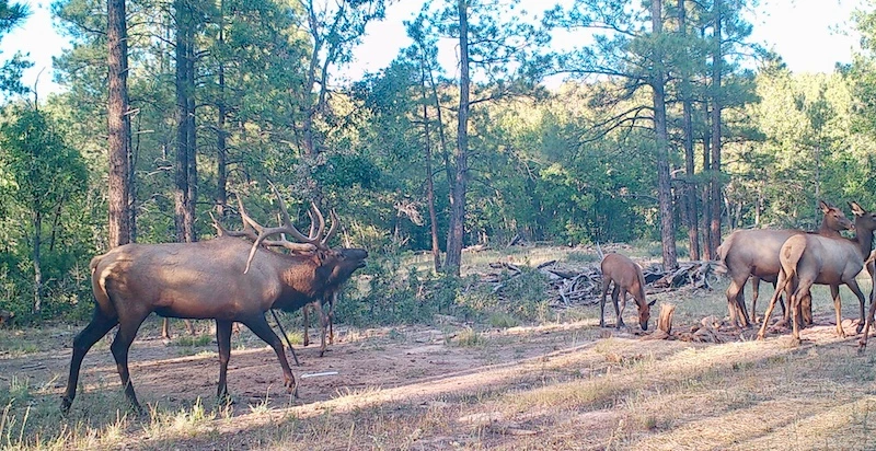
Less than 5% of Lincoln County is privately owned, with the majority of being federal land. Most of these federal lands are open to recreational use making this area highly desirable for outdoor recreation. Nevada's largest BLM managed OHV off-road vehicle trail system, Silver State Trail, is located in Lincoln County. This provides for everything from ATV, to mountain bikes and horses. In addition to the many miles of trails there are lakes stocked with fish and plenty of hunting opportunities from bird to big game. The region also has an interesting history of mining and ranching with numerous mining ghost towns.
Land Information:
Legal: Situate in the North Half (N1/2) of Section 3 Township 3 South, Range 67 East, M.D.B.& M., being a portion of lot 32 of Highland Knolls Subdivision as shown on the official map thereof, more particularly described as follows:
Parcel 4 as shown on the parcel map recorded August 21, 1980 in the Office of the County Recorder of Lincoln County, Nevada in Book A of plats, page 161 as File No. 69483, Lincoln County, Nevada records.
APN: 013-041-28
Dimensions: Approximately 160' X 303'
Size: 1.11 Acres
GPS: Approximate GPS Coordinates
37.719715, -114.464137 (NW Corner)
37.719710, -114.463039 (NE Corner)
37.719291, -114.463016 (SE Corner)
37.719290, -114.464141 (SW Corner)
37.719499, -114.463604 (Center)
Owner financing available, please inquire. No credit checks, everyone qualifies. We accept all major credit cards. All Cash offers considered.
Document preparation fee: $299
C-2024014 NTTT
Disclaimer: All of the information in this listing is accurate to the best of our knowledge at the time of posting. Potential buyer(s) should do their own research and due diligence to verify all information provided and make a decision to purchase based on their own research.
Details
County: Lincoln
Zipcode: 89008
Property Type One: Recreational Property
Property Type Two: Residential Property
Property Type Three: Undeveloped Land
Brokerage: Land.com
Brokerage Link: https://land.com


Nearby Listings
Cibola County, NM
$11,776,000 - 5120 ac.
Cibola County, NM
$14,999 - 5 ac.
Cibola County, NM
$12,900 - 11 ac.
McKinley County, NM
$790,000 - 596 ac.
Cibola County, NM

$1,149,950 - 41 ac.
Cibola County, NM
$12,999 - 11 ac.
McKinley County, NM

$295,000 - 314 ac.
Cibola County, NM

$14,999 - 5 ac.
Cibola County, NM

$800,000 - 640 ac.
Cibola County, NM
$1,200,000 - 320 ac.