
R0064346
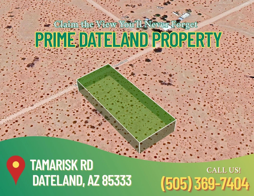
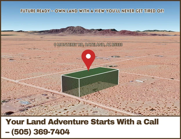
65487 Tamarisk Road, Dateland, AZ | Lat/Lng: 32.8212, -113.5089
$5,000
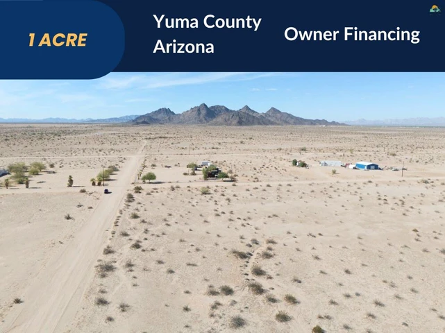
1 ac.
08/27/2025
ACTIVE

Description
Rare 1-Acre Vacant Lot in Dateland, AZ | Zoned Residential | No HOA | Build Now
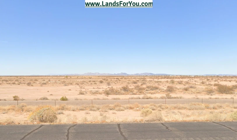
Looking for the perfect desert property to call your own? This 1-acre parcel in Sun Country Acres, Yuma County is ready to deliver freedom, opportunity, and peace of mind. Whether you want to build your dream home, create a desert retreat, or hold land as a smart investment, this lot checks all the boxes.
With Suburban Ranch (SR-1) zoning, youre cleared to build single-family homes, mobile homes, manufactured homes, or even tiny homes and accessory structures. No HOA means no unnecessary rules or restrictions, while taxes are incredibly low at just $16 per year. The property is flat, cleared, and outside flood zones or wetlands, giving you a hassle-free start. Access is simple via dirt road, and utilities are straightforward: dig a well, install septic, and connect to power through APS Electric.
Although it feels private and remote, this lot keeps you connected. Youre less than 80 miles from Yuma, and just minutes from the Dateland Travel Center for essentials. The property also offers easy access to Arizonas attractions, including Castle Dome Mine Museum, Yuma Territorial Prison, and Painted Rock Petroglyphs. Explore, adventure, or simply relax under stunning desert skies.
Whether you're buying to build now, hold long-term, or design a personal getaway, this property offers flexibility at minimal cost. Opportunities like this don't last long secure your piece of Arizona today and start turning your vision into reality.
Seller Financing Available. Contact us for more info!
Property Details:
Parcel #: 559-16-324
Account # or GEO #: R0064346
Property Address: Tamarisk Rd, Dateland, AZ 85333/ GPS Center: 32.821300, -113.509310
County: Yuma County
State: Arizona
Parcel Size: 1 Acre
Legal Description: Subdivision: SUN COUNTRY ACRES Lot: 324 Section: 17 Township: 07S Range: 12W
Land Use: Residential
Property Type: Vacant
GPS Center Coordinates: 32.821300, -113.509310
GPS Coordinates (Corners):
32.82171, -113.50953
32.82171, -113.50909
32.82081, -113.50909
32.82080, 113.50952
Tax Amount: $16.00
Don't wait your desert dream starts here!
Securing your property is easy with us. We use a trusted third-party title company to ensure a clear title and a smooth transaction. Contact us today via message or phone to get started!
Buyer is responsible for verifying all information with the County as to what can and cannot be done with the property. Buyer will need to work with the County to obtain the proper permits if needed. Buyer will also need to confirm the availability of any utilities needed or serviced on the property. Seller makes no warranties or representations about the land, its condition, or what can be built on the property.
Details
County: Yuma
Zipcode: 85333
Property Type One: Recreational Property
Property Type Two: Residential Property
Property Type Three: Undeveloped Land
Brokerage: LandNowForSale
Brokerage Link: https://www.locallandco.com/
Apn: 55916325

Michael Foreman
LandNowForSale
(505) 369-7404
By clicking the button, you agree to our Terms of Use and Privacy Policy.


Nearby Listings
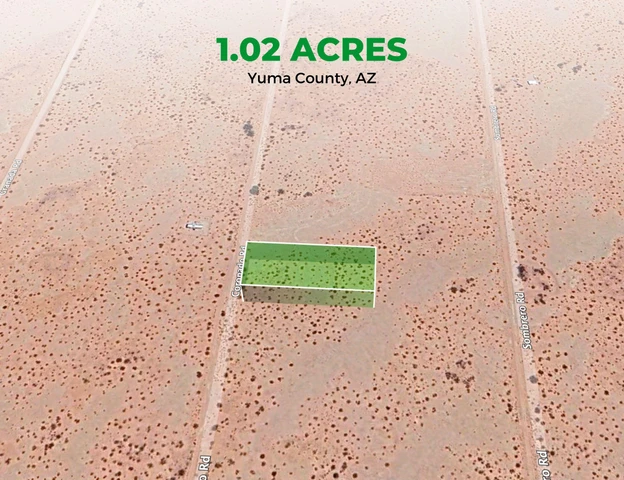
Yuma County, AZ
$48,997 - 5 ac.
Yuma County, AZ

$10,997 - 1 ac.
Yuma County, AZ

$10,997 - 1 ac.
Yuma County, AZ
$10,997 - 1 ac.
Yuma County, AZ
$18,000 - 1 ac.
Yuma County, AZ
$6,000 - 1 ac.
Yuma County, AZ
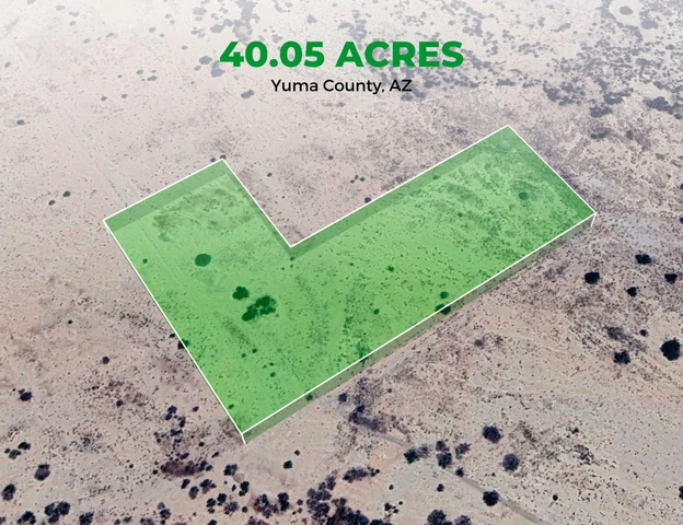
$46,000 - 40 ac.
Yuma County, AZ
$39,587 - 1 ac.
Yuma County, AZ
$8,999 - 1 ac.
Yuma County, AZ

$736,000 - 160 ac.